Hidden Lake Trail is hands down one of my favorite hikes in the Omaha area. It has a bit of everything, a few hills, swamps, large lakes, great bird habitats, large trees, lookouts, etc.
 This is the start of the trail, as you can see there is a pay booth. If you’re a Fontanelle member all the trails in Fontanelle Forest and Neale Woods are accessible ($35 yearly) otherwise the cost of hiking is a $7 per person donation. Relatively speaking this is probably the most expensive trail that I have ever hiked. To put this in perspective Rocky Mountain National Park has an entrance fee of $20 per vehicle, or perhaps a better example is the beautiful Hitchcock Nature Center just north of Council Bluffs, IA that has an entrance fee of $2 a vehicle or $10 for a year pass.
Map:

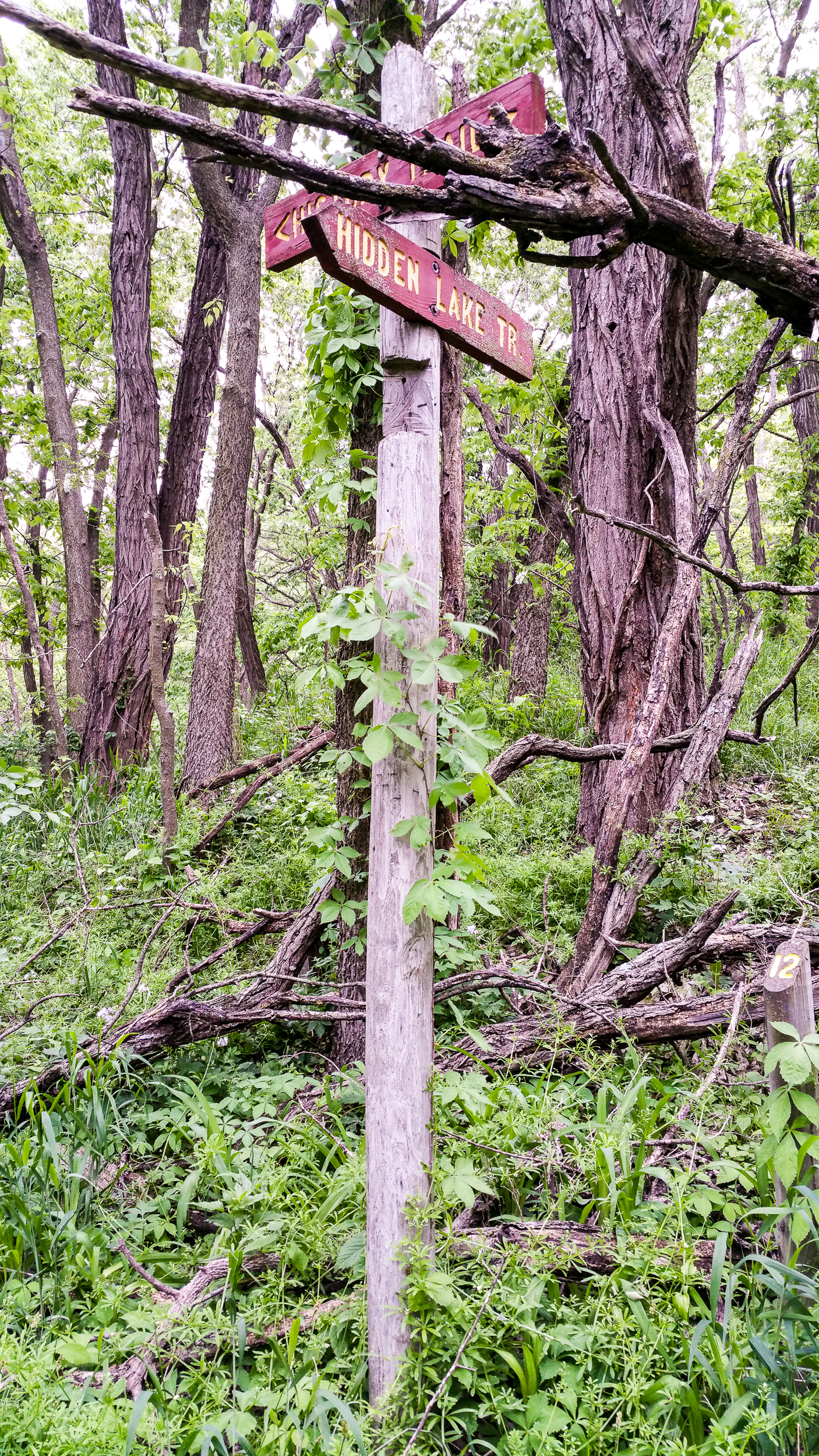
Right after crossing the road you run into the first of many signs along the trail, above it shows a little map and a bit of information about the area. A short ways from the sign you’ll come to the board walk and then the first of many Ys in the trail. I prefer to do the hills first and then to have a easy walk back so I take a right at this junction.
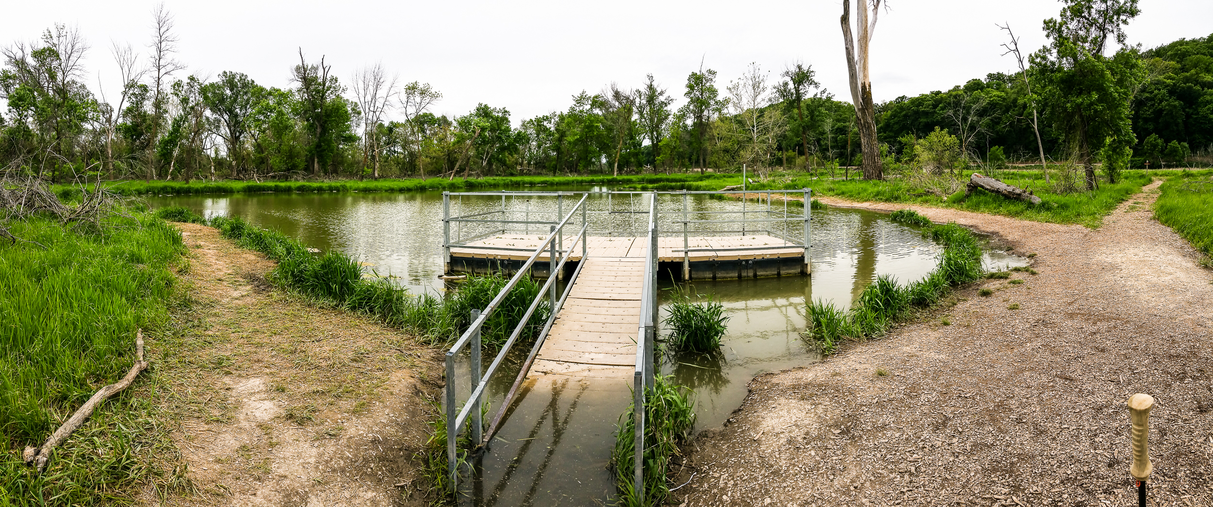
There are a few little lookouts like this, usually they are a bit easier to get to. Repairs are typically done quickly and everything is fairly well groomed.

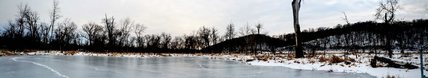
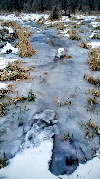
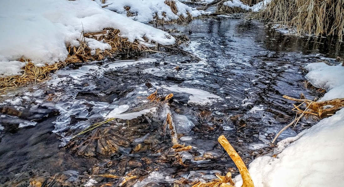
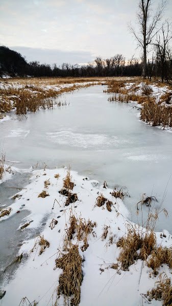
Hang a left here on Stream Trail, this takes you by a bit of a swampy area and an overlook to one of the two lakes on this trail. The bridge across the marsh is just a bit down the trail and on the right.

There are many informational posts along the trail.

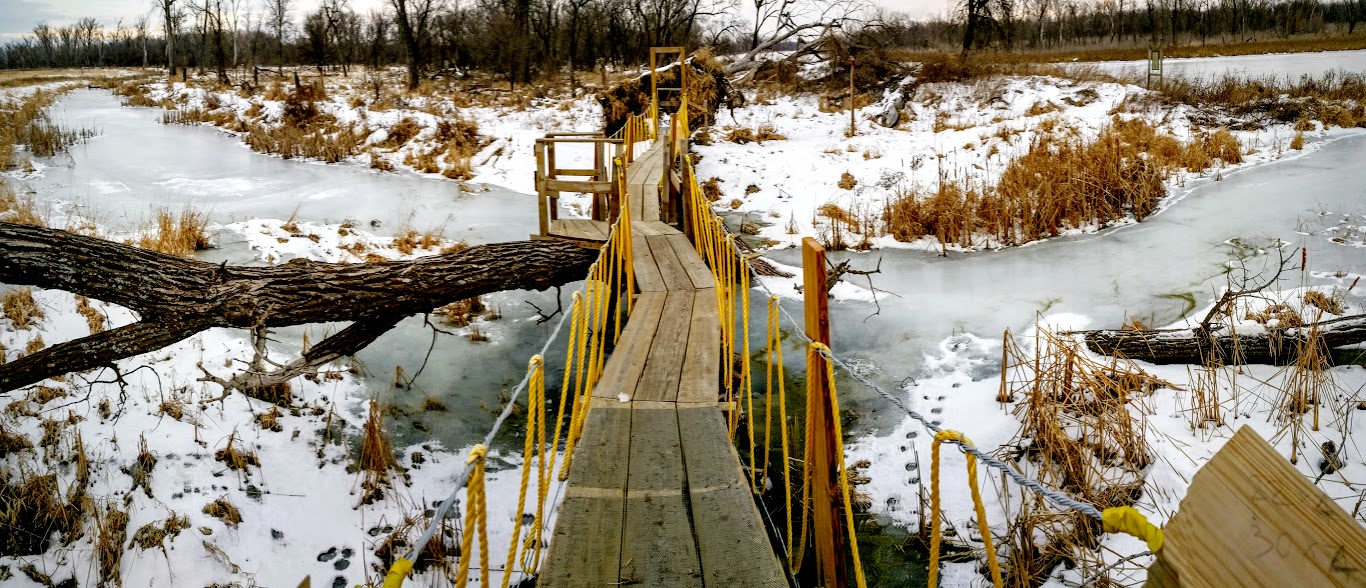
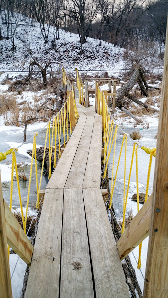
This is the bridge across the marsh area, across it is when the trail crosses the train tracks and heads into the hills.

The upland areas are a bit of a trudge up, but offer great views and a welcome change of the typical Nebraska scenery.
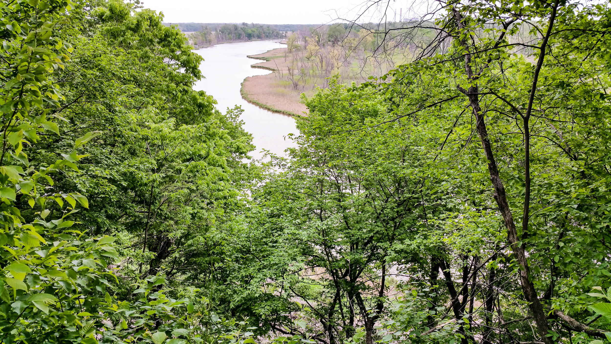
One of the best views offered on the trail, this one can be easily missed though. On your way up the hill there will be a little offshoot to your left that leads to a wood plank in the ground. On this wood plank there used to be a nice bench to take a break on but it’s been gone for a couple years now.
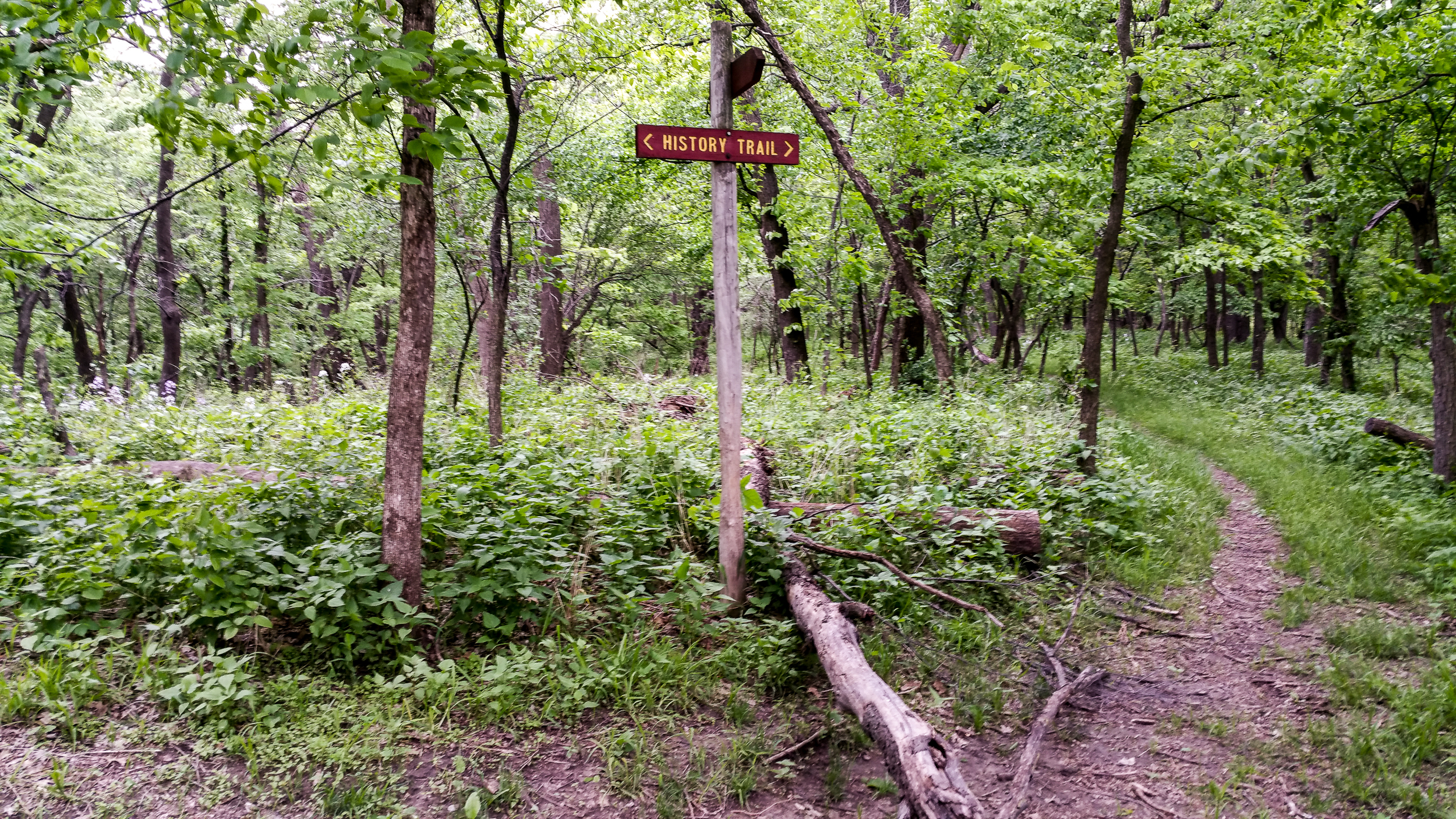
After a bit of ups and downs on the trail you’ll come to another split, take a left onto History Trail.
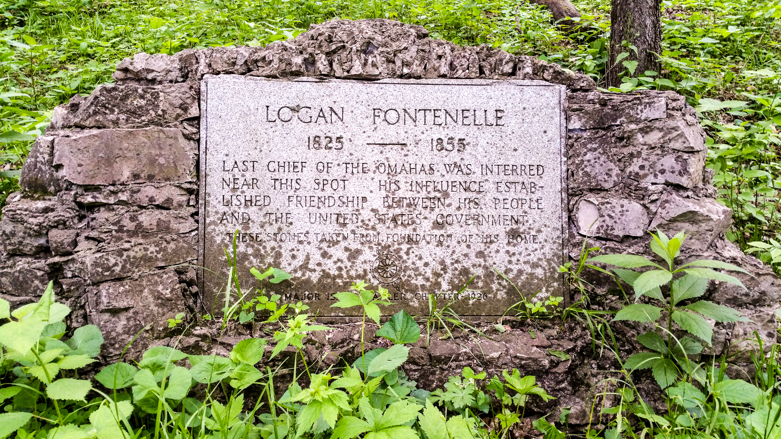
If you head down History Trail and at the next split take a left. Roughly thirty feet down the trail you’ll run into a grave site where Logan Fontenelle and his family are buried.
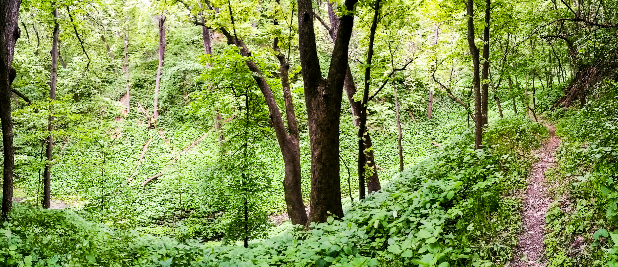
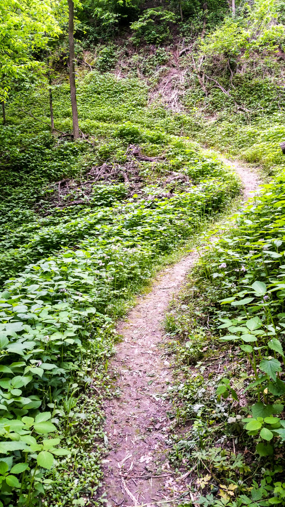
The trail down to the grave sites just dead ends, you will turn around and head back up and take the other unexplored trail. This leads to my favorite part of the trail. It’s an open area and you can see across to where the trail is going. The openness and the amount of undergrowth in the area really give this part of the trail a special feel.

And heading up on the other side of the valley.
Another split in the trail, head down on Hidden Lake Trail across the tracks and to the lowlands.
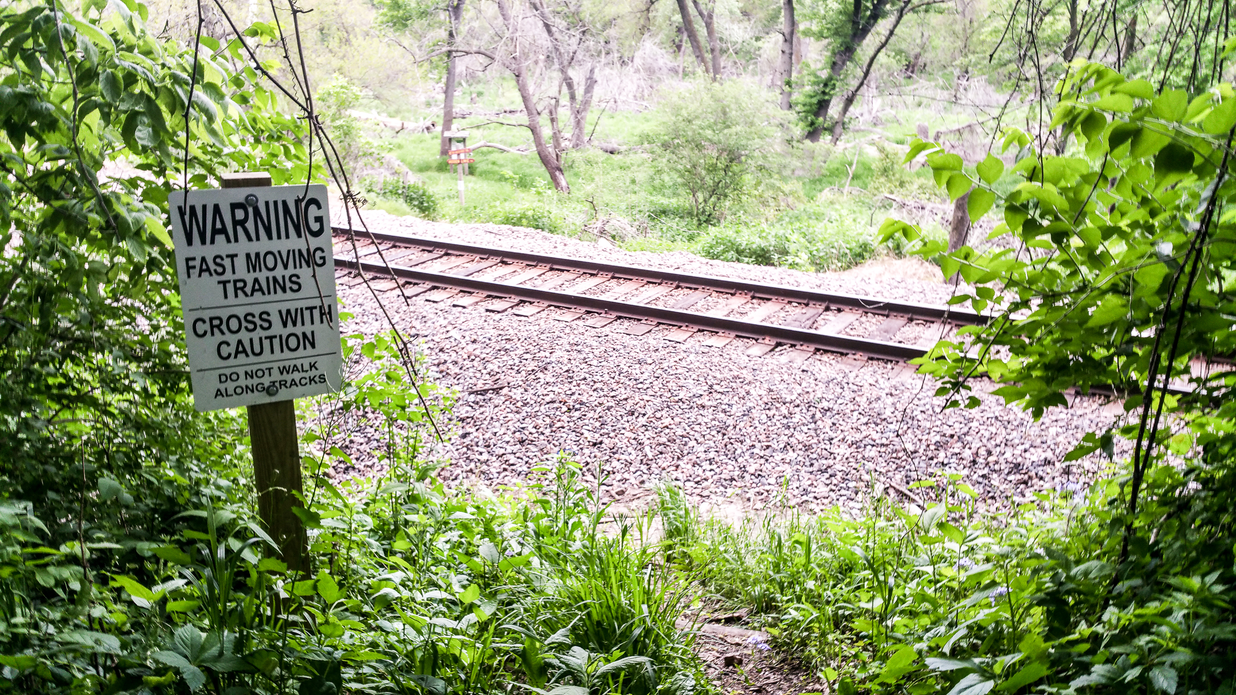
On down the trail and across the tracks.

The remnants of an old bridge that used to stretch across Hidden Lake.
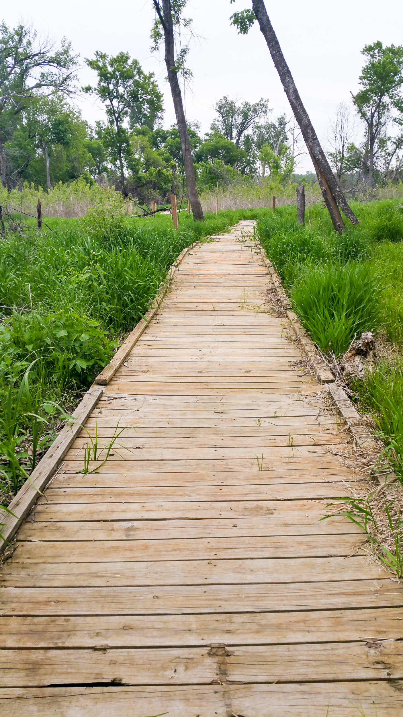
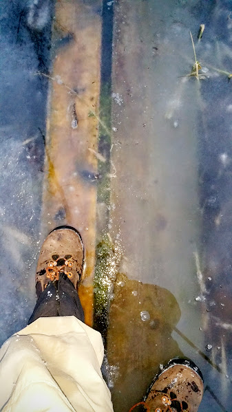
There are quite a few boardwalks over areas that can get swampy when wet.

The lookout signifies nearing the end of the trail.

Even though it’s a bit on the expensive side I really love this trail. It has as much variation in scenery and habitats that one can hope for on a short day hike in Omaha, Nebraska.
Stats
- Distance: 4 Miles
- My time: 2 Hours
- Elevation: Half is completely flat, the other half is hills.
- Difficulty(out of 10): 7 (When dry, parts of the trail are prone to flooding and can get muddy.)
- Cost: Free to members of Fontanelle Forest (as of writing membership is $35 annually) or $7 per person.
Download GPS file here (right click save as).
Fontanelle Forest Main Site: http://www.fontenelleforest.org/
Fontanelle Map